Safe Boat Havens
Early in the 1990’s, the Council of B.C. Yacht Clubs, through its members, embarked upon the task of formulating a catalogue of safe anchorages throughout the coast of British Columbia Intended for the specific use of small vessels where there would be reasonable confidence of secure anchoring on arrival and a peaceful night.
The “Provincial Boat Havens” document lists 126 locations in three categories:
A. Destination Harbors.
These harbors are located at strategic intervals; approximately one day travel apart, and provide maximum
shelter from most weather conditions and possible long-term anchorage.
B. Settled weathers overnight Anchorage.
Weather permitting, these give good protection,
C. Scenic, Temporary or Emergency Anchorage.
Varying degrees of protection depending on weather conditions. Some of these sit es are identified for their scenic value and not always suitable as anchorage. The emergency locations are noted as. Harbour of refuge.
The locations can also be viewed on Google Earth by importing this KMZ file.
(Note: The KMZ file can be converted to a GPX file which can be read by popular navigation apps like Navionics)
Boating on the Okanagan Lake
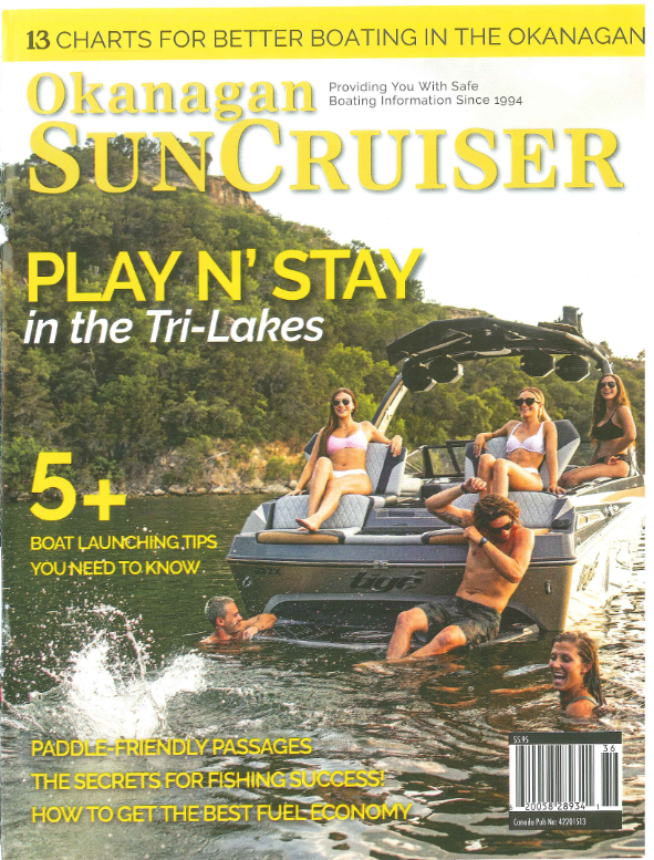
The 2023 edition of the Sun Cruiser is an excellent guide to boating on the lake. Unfortunately, after publishing for many years, there are no new issues planned. Hopefully this answers any questions people might have regarding places to moor on the Lake.

BC Marine Trails website
The BC Marine Trails website is geared toward non-motorized coastal recreation. However, we have heard from small boaters that they appreciate the detailed site information on our website because they are often anchoring their boats and then using paddleboards or kayaks to land at the sites we list on our map. We also provide on our map information from First Nations communities with whom we have done collaborative site review work. As well, we are very excited to be able to offer a site condition reporting layer where visitors can access the most recent reports and photos about sites.
Our aim is to shift the culture of coastal recreation to a place where visitors to coastal sites do their part to ensure they leave the site even more natural than they found it. That might mean dismantling user-created fire rings, removing or collecting and stowing marine debris, clipping a headland trail to avoid trampling fragile vegetation.
There is a public version of the map that can be easily viewed by all. The member map contains more detailed information about each site, allows for trip planning, site selection, and provides access to the Site Condition Report layer as well as the Canadian Hydrographic Services layer (visible when the use zooms in to a smaller area).
https://www.bcmarinetrails.org/
Safe boating in the Port of Vancouver
Vancouver has a busy harbour. With thousands of commercial and recreational vessels moving through the waters that make up the Port of Vancouver every year, alongside ferries and seaplanes, it is crucial for all marine users to be aware of the rules and procedures to follow to ensure safety and harmony on the water. As part of our ongoing efforts to raise that awareness and promote boating safety within the limits of the Port of Vancouver, we’ve developed the Boaters’ Handbook.
The handbook is designed to help boaters and paddlers have safe and enjoyable cruising experiences within the shared waters of the Port of Vancouver, including English Bay, Burrard Inlet, and the Fraser River. It covers all the safety rules and procedures that either apply to—or directly impact—recreational marine users at the Port of Vancouver. It also provides guidelines and best practices to help protect local ecosystems and be good neighbours to nearby communities.

Useful links
Other links
- The Waterfront Protection Coalition has created a website to keep the many interest groups informed. Also, comments for changes to the Land Act before March 31st
https://waterfrontprotection.org/ - Consultation period has been extended to Feb. 16th, 2024, please write a response stating your opinion
https://comment.nrs.gov.bc.ca/applications?clidDtid=2412772&id=655fd3540d24d60022df6ee3, Ref. No. 2412772 - McMillan LLP Indigeneous Law Bulletin: “BC Government Consulting on New Law to Give Indigenous Groups Control over Crown Land Decisions”
BC Government Consulting on New Law to Give Indigenous Groups Control over Crown Land Decisions – McMillan LLP - FaQ Document from the Province and SFN:
https://www2.gov.bc.ca/assets/gov/farming-natural-resources-and-industry/natural-resource-use/land-water-use/crown-land/crown-land-uses/regional-initiatives/faq-shishalh_swiya_dock_management_plan_proposed_amendments.pdf - The presentation by Minister Nathan Cullen on February 8, 2024 to various outdoor recreation organizations
https://cbcyachtclubs.org/wp/wp-content/uploads/2024/02/2024-Land-Act-Amendments-Stakeholder-Deck-02-06-1141am.pdf - The existing dock management plan is provided through this link:
https://www2.gov.bc.ca/assets/gov/farming-natural-resources-and-industry/natural-resource-use/land-water-use/crown-land/crown-land-uses/regional-initiatives/5-pender_harbour_dmp.pdf - Concerns include the potential improper sub-delegation of statutory decision-making powers to the shIshálh Nation. Access to the letter: https://mcusercontent.com/08e4c089fc90e3f520a80a826/files/ccf20738-6cda-4f4c-1392-e29bc0030e13/2024_01_10_LT_Hon_M.Cullen_re._PHARA_002_.pdf
- Kevin Falcon (BC United Party) has responded to all the concern on Facebook: https://fb.watch/pw8DC9quGC/?mibextid=CTbP7E
- Richard Wiefelspuett of LMS requests help:
give.charityvillage.com/LadysmithCommunityMarina - Lambert M.C. et al. 2023. Do small overwater structures impact marine habitats and biota. Pacific Conservation Biology doi: 10,107 I/PC 22037
http://www.penderharbourdockplan.com/uploads/5/2/0/4/52047017/balanced_environmental_review_march_8_2019.pdf